The second activity carried out within the EELISA-on-the-MOVE protocommunity this year was a workshop coordinated by Maria Amor Ariza Álvarez Belén Martín Ramos, Julio A. Soria-Lara and Emilio Ortega Pérez from Universidad Politécnica de Madrid, with the participation of Ramón Molinero Parejo and Nikolai Shurupov from Universidad de Alcalá. This activity is recognised with a level 3 impact badge (commitment) for EELISA Credentials.
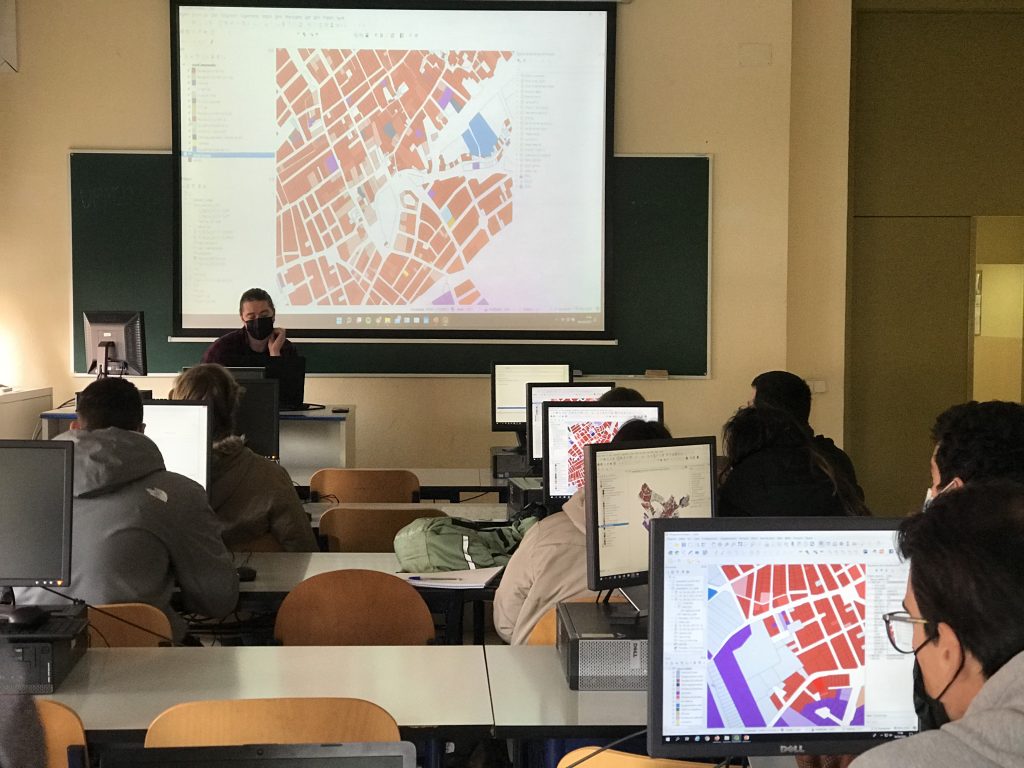
This flagship project was oriented to the acquire of skills related to managing, processing, and mapping spatial data by the use and application of QGIS Software (Geographical Information Systems) on urban mobility planning. Moreover, students learned the basics of “Cadastral Classifier” tool, which allows processing and classifying cadastral data and helps overcome existing barriers on the use of cadastral information.
Workshop dynamization and organization INNOVAPLAN & TRANSyT-UPM: Maria Amor Ariza Álvarez Belén Martín Ramos, Julio A. Soria-Lara, Emilio Ortega Pérez. Ramón Molinero Parejo and Nikolai Shurupov, Universidad de Alcalá.
6 April 2022, 9.00-13.30 AM
ETSI Montes, Forestal y del Medio Natural. Aula 8 edificio Forestales. C/José Antonio Novais 10, 28040