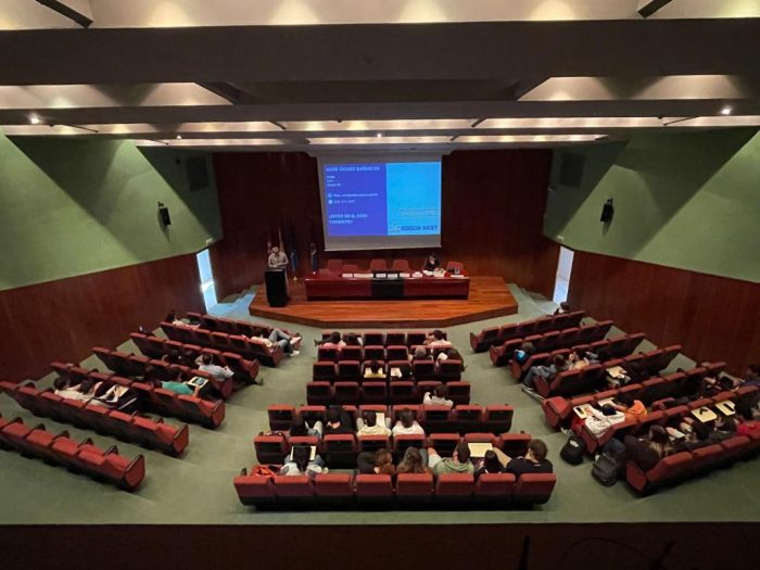
Ibero-American online conference on geodetic sciences and geotechnologies
The purpose of the conference is to provide the advancement of technical-scientific knowledge of geodesic sciences and geotechnologies among the different research institutions of Ibero-American countries, aiming to encourage the development of new geospatial studies in the area of geosciences.

27 – 28 Jul 2023

Online, Youtube
Seminar / workshop for the development of a Territorial Information System for the proposal of activities of the projects: “Metropolitan Forest” and “Producer Neighborhoods”
In this seminar, a multidimensional and interdisciplinary database will be generated including information such as satellite images and cartography as well as field and meteorological data, key aspects for urban forest assessment and management. Information on the necessary activities and technical needs in the restoration process or other actions associated to the territorial units will be also defined.
24 Apr – 28 Apr 2023
ETSI Agronómica, Alimentaria y de Biosistemas @UPM
Organaisers:

GREEN PLANETSCOVERY 2023
This two-day event, led by two EELISA projects, GREEN PLANET and DISCOVERY, consisted in bringing students, who are still studying their degrees, closer to the world of work through talks and presentations by former students of this same university.
Furthermore, the main objective of GREEN PLANET was kept in mind, as most of these young workers use technology as a means of work, to serve nature as well as society.
19 Apr – 20 Apr 2023
ETSI Montes, Forestal y del Medio Natural @UPM
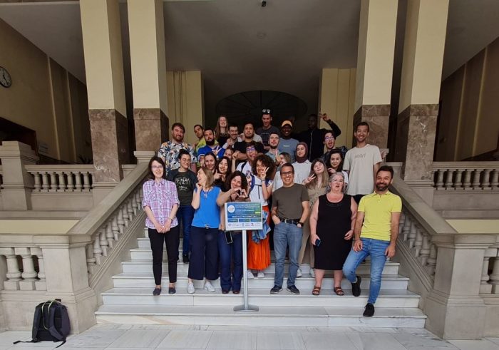
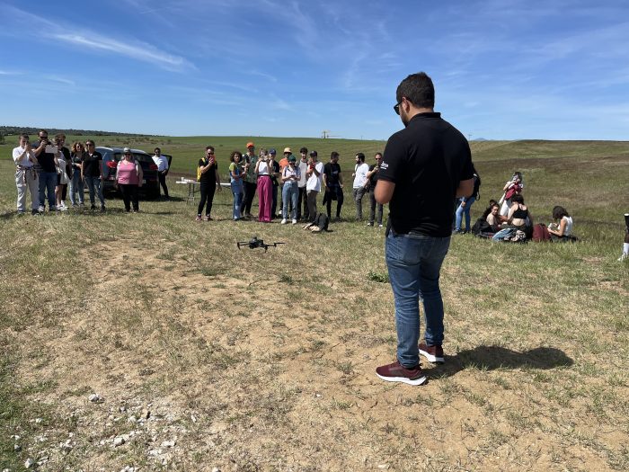
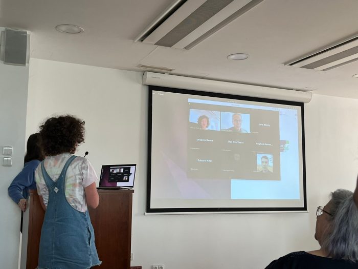
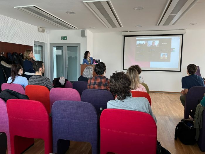
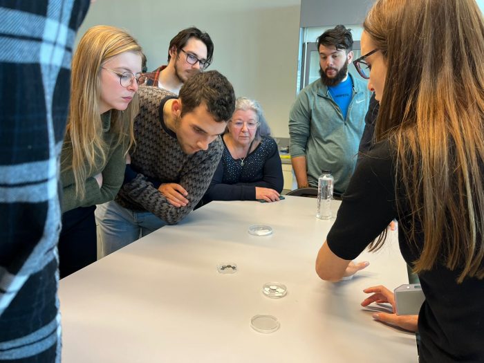
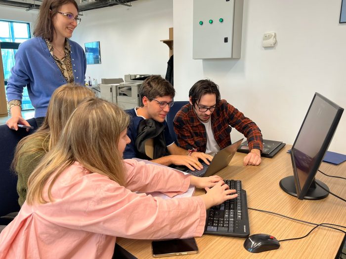
Seminar / workshop to develop and discuss techniques for Satellite Image Time Series (SITS) analysis for Urban and Forestry Sustainable Development
The scope of the seminar is to show the importance of Earth Observation and ML/AI techniques in dealing with environmental issues, while raising awareness of the benefits of analysing multitemporal and multimodal remote sensing data.
15 Feb – 17 Feb 2023
CAMPUS Research Institute @UPB
Organaisers:
Aspects to be discussed:
- Land surface processes monitoring using satellite time series
- Introduction to SITS analysis
- Urban and forestry data collection and management – the “Metropolitan Forest” project
- Data interpretation from the perspective of environmental sustainability
- Image analysis for environmental monitoring use case: wildfire detection
- Change detection
- Clustering and query by example retrieval in SITS
- Overview of environmental monitoring related projects, conclusions, and future perspectives
Students will analyse:
Students will be able to:
- Impact of climate change on urban and forestry areas
- Techniques for SITS analysis (image analysis, change detection, clustering multitemporal; data, query by example retrieval, multimodal satellite imagery)
- Discuss specific problems related to environment and climate change in a multidisciplinary framework
- Understand the benefits of remote sensing multimodal and multitemporal data
- Fuse knowledge extracted from SITS with information acquired by other types of sensors
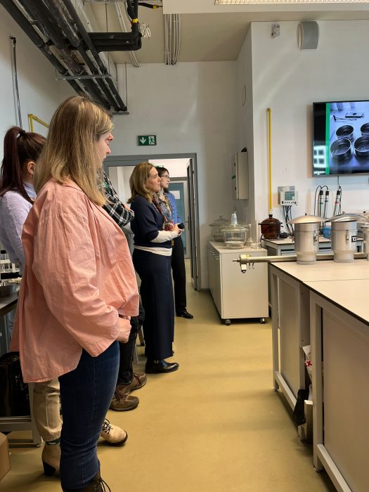
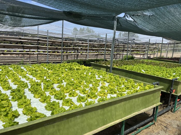
Ex situ conservation and management of endangered plant species and crop wild relatives.
Lead by: Santiago Moreno Vázquez
This activity consists in a stay/training at the plant germplasm bank. The students participate in the different activities in the plant germplasm bank: conservation, documentation, characterisation and management of seed and live plant collections. Depending on the date, incoming students also collaborate in dissemination activities in programs such as Science Week or ESO+empresa.