Papers
2023
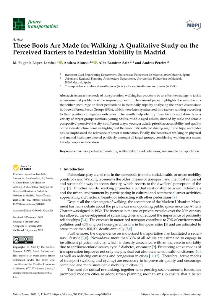
López-Lambas, M. E., Alonso, A., Ramírez-Saiz, A., & Pereira, A. (2023). These Boots Are Made for Walking: A Qualitative Study on the Perceived Barriers to Pedestrian Mobility in Madrid. Future Transportation, 3(1), 111-132. https://doi.org/10.3390/futuretransp3010008
As an active mode of transportation, walking has proven to be an effective strategy to tackle environmental problems while improving health. The current paper highlights the main factors that either encourage or deter pedestrians in their daily trips by analyzing the arisen discussions in three different Focus Groups (FGs), which were later synthesized into factors ranking according to their positive or negative outcomes. The results help identify these factors and show how a variety of target groups (seniors, young adults, middle-aged adults, divided by male and female perspective) perceive the city in different ways: younger adults prioritize accessibility and quality of the infrastructure, females highlighted the insecurity suffered during nighttime trips, and older adults emphasized the relevance of street maintenance. Finally, the benefits of walking on physical and mental health are viewed positively amongst all target groups, considering walking as a means to help people reduce stress.
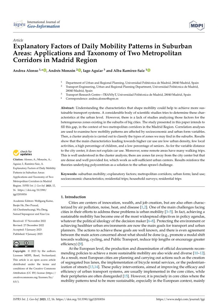
Alonso, A., Monzón, A., Aguiar, I., & Ramírez-Saiz, A. (2023). Explanatory Factors of Daily Mobility Patterns in Suburban Areas: Applications and Taxonomy of Two Metropolitan Corridors in Madrid Region. ISPRS International Journal of Geo-Information, 12(1), 16. https://doi.org/10.3390/ijgi12010016
Understanding the characteristics that shape mobility could help to achieve more sustainable transport systems. A considerable body of scientific studies tries to determine these characteristics at the urban level. However, there is a lack of studies analyzing those factors for the heterogeneous zones existing in the suburbs of big cities. The study presented in this paper intends to fill this gap, in the context of two metropolitan corridors in the Madrid Region. Correlation analyses are used to examine how mobility patterns are affected by socioeconomic and urban form variables. Then, a cluster analysis is carried out to classify the types of zones we may find in the suburbs. Results show that the main characteristics leading towards higher car use are low urban density, few local activities, a high percentage of children, and a low percentage of seniors. As for the variable distance to the city center, it does not explain car use. Moreover, some remote areas have many walking trips. This is well understood in the cluster analysis; there are zones far away from the city center but that are dense and well provided for, which work as self-sufficient urban centers. Results reinforce the theories underlying polycentrism as a solution to the urban sprawl challenge.
2022
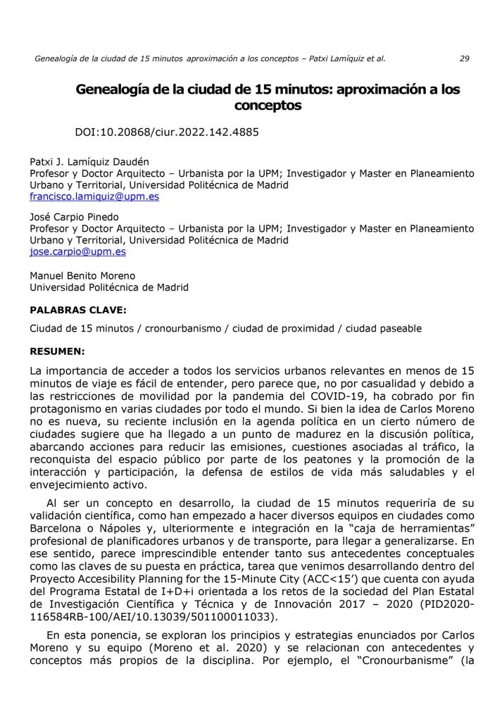
Daudén, F. J. L., Pinedo, J. C., & Moreno, M. B. (2022). Genealogía de la ciudad de 15 minutos: aproximación a los conceptos. Cuadernos de investigación urbanística, (142), 29-39. https://doi.org/10.20868/ciur.2022.142.4885
The importance of accessing all relevant urban services in less than 15 minutes’ travel time is easy to understand, but it seems that, not coincidentally and due to the mobility restrictions of the COVID-19 pandemic, it has finally come to the fore in a number of cities around the world. While Carlos Moreno’s idea is not new, its recent inclusion on the political agenda in a number of cities suggests that it has reached a point of maturity in the political discussion, encompassing actions to reduce emissions, traffic issues, pedestrian re-conquest of public space and promotion of interaction and participation, advocacy of healthier lifestyles and active ageing. As a concept under development, the 15-minute city would require scientific validation, as several teams in cities such as Barcelona and Naples have begun to do, and subsequent integration into the professional “toolbox” of urban and transport planners, in order to become widespread. In this sense, it seems essential to understand both its conceptual background and the keys to its implementation. In this paper, the principles and strategies enunciated by Carlos Moreno and his team (Moreno et al. 2020) are explored and related to background and concepts more specific to the discipline. For example, “Cronourbanisme” (the linking of rhythms and everyday spaces, in Moreno’s words), with the Italian “Planificazione temporali” or with gender urbanism; Topo-philie” (attachment to place) with “Place-making” or “New urbanism” or “Chronotopie” (differentiated use of a place according to temporality) with temporary street closures or Tactical urbanism, through the case of Paris and also in other less known but very similar cases, such as Portland (20-minutes neigborhoods, 2012), Melbourne (20-minutes neigborhoods, 2017) and Ottawa (15-minutes neigborhoods, 2019).
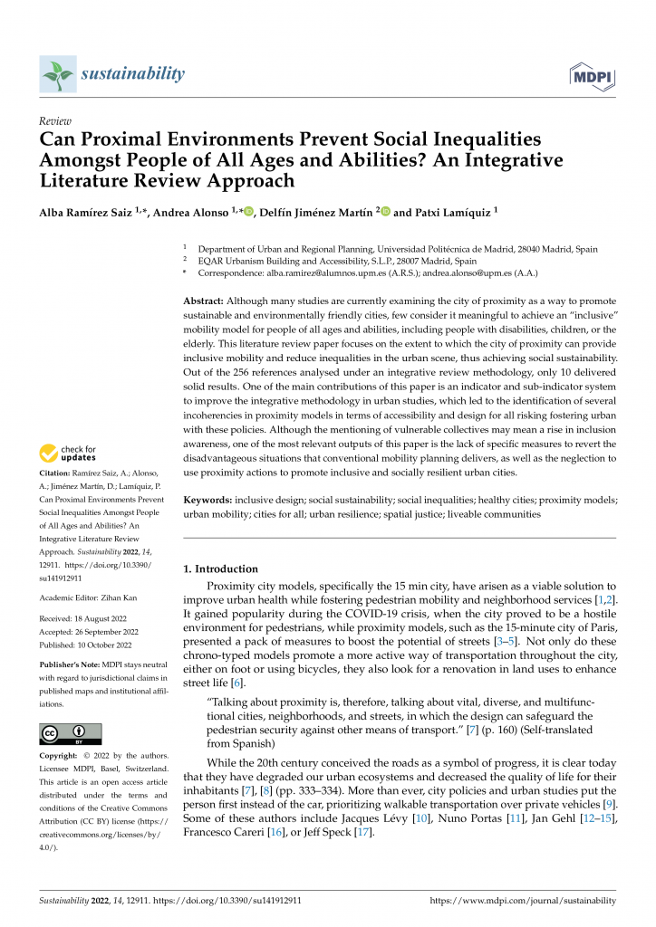
Ramírez Saiz, A., Alonso, A., Jiménez Martín, D., & Lamíquiz, P. (2022). Can Proximal Environments Prevent Social Inequalities Amongst People of All Ages and Abilities? An Integrative Literature Review Approach. Sustainability, 14(19), 12911. https://doi.org/10.3390/su141912911
Although many studies are currently examining the city of proximity as a way to promote sustainable and environmentally friendly cities, few consider it meaningful to achieve an “inclusive” mobility model for people of all ages and abilities, including people with disabilities, children, or the elderly. This literature review paper focuses on the extent to which the city of proximity can provide inclusive mobility and reduce inequalities in the urban scene, thus achieving social sustainability. Out of the 256 references analysed under an integrative review methodology, only 10 delivered solid results. One of the main contributions of this paper is an indicator and sub-indicator system to improve the integrative methodology in urban studies, which led to the identification of several incoherencies in proximity models in terms of accessibility and design for all risking fostering urban with these policies. Although the mentioning of vulnerable collectives may mean a rise in inclusion awareness, one of the most relevant outputs of this paper is the lack of specific measures to revert the disadvantageous situations that conventional mobility planning delivers, as well as the neglection to use proximity actions to promote inclusive and socially resilient urban cities.
2021
Carpio-Pinedo, J., Benito-Moreno, M., & Lamíquiz-Daudén, P. J. (2021). Beyond land use mix, walkable trips. An approach based on parcel-level land use data and network analysis. Journal of Maps, 17(1), 23-30. https://doi.org/10.1080/17445647.2021.1875063
Land use mix is one of the cornerstones for urban sustainability, in opposition to functional segregation and zoning policies. Land use mix is a prerequisite for urban proximity dynamics, healthier lifestyles and public space vitality. However, methodological shortcomings to its measurement remain and are responsible for the unexpected weak association with pedestrian activity. This study puts forward a novel method to reframe, measure and map land use mix as ‘walkable trips’, a closer approach to its benefits based on functional and spatial complementarity. The method draws on newly available cadastral microdata at the parcel-level that, combined with trip generation rates and network analysis tools, enable a detailed assessment and mapping of potential for walkable trips, as well as a proxy to the spatial patterns of urban vitality, in line with the principle of the 15-minute city. The method is applied to the case of the Madrid metropolitan area.
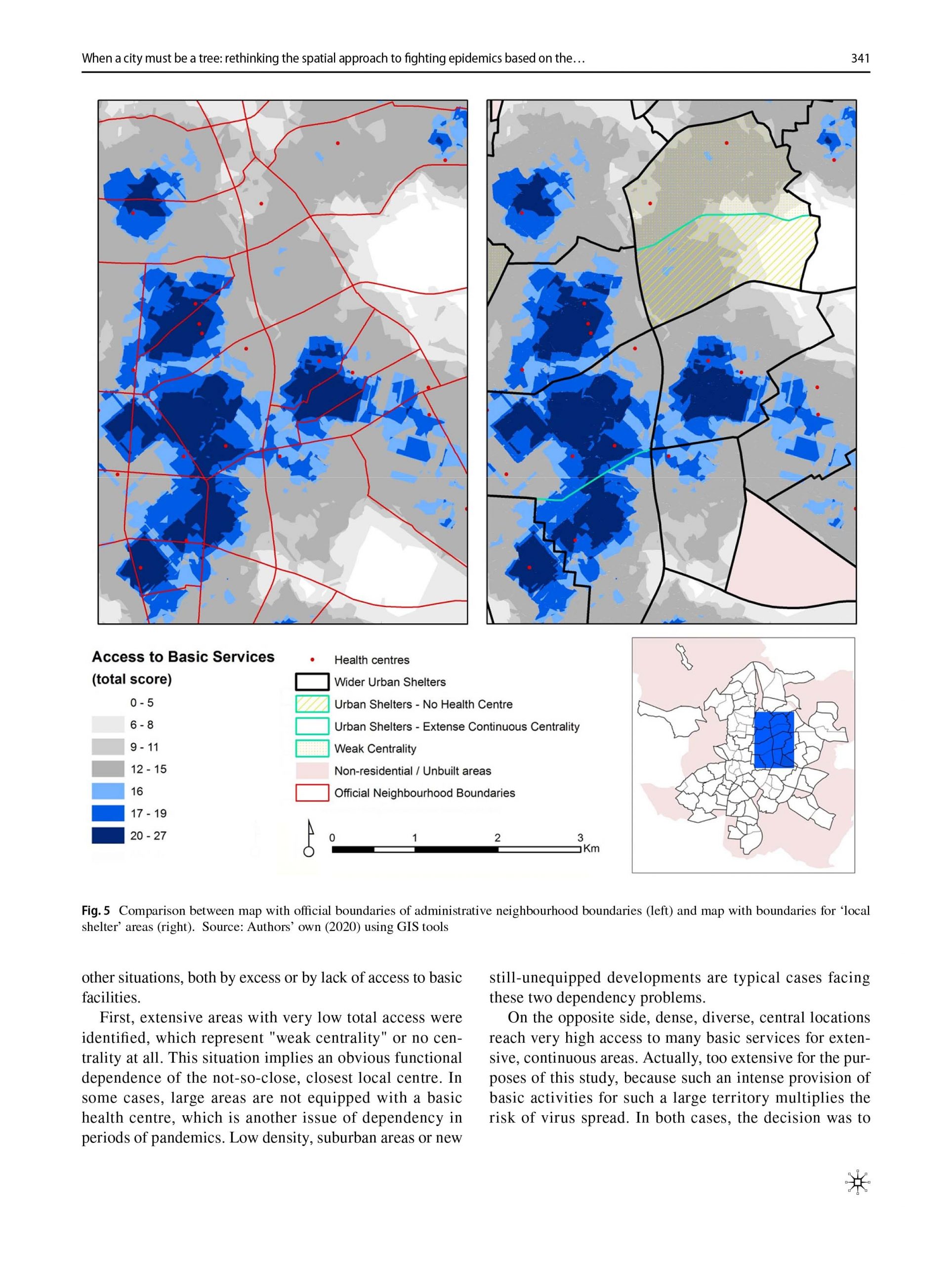
Carpio-Pinedo, J., Pozo Menendez, E., Lamiquiz Dauden, F. J., & Higueras Garcia, E. (2021). When a city must be a tree: rethinking the spatial approach to fighting epidemics based on the notion of ‘intermediate confinement’. Urban Design International, 1-16. https://doi.org/10.1057/s41289-021-00160-y
Principles of sustainability defend compactness, density and diversity as main characteristics of the optimal development of cities. These factors support public transport efficiency, economic activity, accessibility to equipments and services, proximity and walkability of streets and social exchanges in open public spaces. The Covid-19 pandemic crisis has called into question these factors perceived as booster of infections. However, dense and compact cities can also be the synonym of a more efficient provision of services, along with solidarity networks and creative solutions to fight the sanitary and economic crisis. Based on Alexander’s (1965) concepts of ‘tree’ and ‘semi-lattice’, this study aims to identify areas in the urban tissue that could be self-sufficient, that is functionally autonomous to manage epidemics from the neighbourhood scale. Encouraging healthier lifestyles during lockdown is fundamental for social resilience. What alternative spatial approach to fighting epidemics could perform better? How could an “intermediate confinement” based on self-sufficiency and the promotion of healthier environments become a major priority for action? The analysis of Madrid (Spain) offers a suitable case study due to its density, diversity and high contagiousness during the Covid-19 crisis, revealing also some issues to apply such ‘intermediate confinement’ strategy, due to major spatial imbalances.
Carpio-Pinedo, J. (2021). Multimodal transport and potential encounters with social difference: A novel approach based on network analysis. Journal of Urban Affairs, 43(1), 93-116. https://doi.org/10.1080/07352166.2019.1662727
Direct experience of social difference is crucial if lower levels of prejudice and greater social cohesion are to be achieved in our cities. Despite their key role of connecting places and people, transport infrastructures have scarcely been assessed as facilitators of encounters with social difference. Furthermore, urban contexts are progressively more complex due to the increasing relevance of transport multimodality along with the unequal degree of access to different transport modes. Building upon network analysis and consolidated accessibility measures, this study presents multi-accessibility as a concept and quantitative instrument to evaluate the potential encounter of difference in city spaces opened up by multimodal transport infrastructures. Multi-accessibility is also presented as a relevant and complementary policy avenue to enhancing social cohesion through transport planning and land use policies in the future. Two planning scenarios for the case of the Madrid metropolitan area illustrate the application, utility and interpretability of the instrument.
López-Lambas, M. E., Sánchez, J. M., & Alonso, A. (2021). The walking health: A route choice model to analyze the street factors enhancing active mobility. Journal of Transport & Health, 22, 101133. https://doi.org/10.1016/j.jth.2021.101133
Introduction. The promotion of walking for transportation is a promising strategy to address not only the traffic bottlenecks or environmental pollution but also to provide health benefits to the patrons. Nevertheless, as enhancing active modes of transportation, including trips to and from shops-is easier in small or medium cities, it is quite a complex task in big urban areas.
Methods. In the framework of the R + D + i DESPACIO project, in 2018, a street and online survey was carried out in the city of Madrid to gather information about different mobility habits, focusing on pedestrian mobility and on the respondents’ perceptions of issues related to mobility on foot. In order to promote more trips on foot, this study analyzed the factors influencing the walking route choice, other than distance. Some respondents also drew on a map the routes undertaken the previous day, indicating the trip purpose. Using the TransCAD software, the real factors that influenced the respondents when walking were obtained.
Results. The key factors for selecting the walking routes were those linked to attractiveness (e.g., green areas, amenities, tourist attractions, etc.) and accessibility (e.g., obstacles, pavement width). The purpose of the trip did not change much the results, although they were accentuated when the trips were made for shopping.
Conclusions. The applied methodology confirms that pedestrian streets, with green areas or access facility —and, hence, less noisy and polluted — were those enhancing a walking habit, and they were also the ones preferred by the citizens, who appreciated those attributes above the more classic ones of distance and time. Therefore, the street design and the pedestrian routes were found to be the most suitable to achieve healthier cities and citizens.
2019
Carpio-Pinedo, J., De Gregorio Hurtado, S., & Sánchez De Madariaga, I. (2019). Gender mainstreaming in urban planning: the potential of geographic information systems and open data sources. Planning Theory & Practice, 20(2), 221-240. https://doi.org/10.1080/14649357.2019.1598567
While gender mainstreaming has become a key principle for fostering equality across all fields of policy, actual implementation in the field of urban planning is still underdeveloped. We posit that Geographic Information Systems (GIS) and open data sources can and should be useful tools that effectively contribute to devising more effective ways of implementing a gender-sensitive agenda in urban planning. We take the case of Madrid to illustrate how these tools can contribute to gender mainstreaming in planning by building a methodology based on the concepts of infrastructures for everyday life and the perception of safety.
2015
Pinedo, J. C., & Daudén, P. J. L. (2015). Proximidad del comercio e indicadores de accesibilidad: aplicación a la planificación y regulación en el marco normativo actual. Ciudades, (18), 217-237. https://doi.org/10.24197/ciudades.18.2015.217-237
El comercio en entornos de proximidad es un servicio básico para la población, con múltiples implicaciones para la ciudad, la vitalidad del espacio público y la equidad social. Este trabajo indaga sobre las posibilidades del concepto y las medidas de accesibilidad, para, en el actual marco normativo que regula la actividad comercial, poder llegar a construir indicadores cuantitativos que sirvan para la protección y fomento del comercio en entornos de proximidad. Para ello, se analiza el encaje del concepto de accesibilidad dentro de las “razones imperiosas de interés general”, las únicas que permite invocar la Directiva Europea 123/2006 “Bolkestein”. A continuación se valoran diversas propuestas de indicadores para el caso comercial, de objetivos y aproximaciones diversas, proponiéndose un marco de análisis basado en su utilidad y precisión, así como su potencial para la planificación y normativa urbanístico-comercial.
Books
Language: spanish 🇪🇸
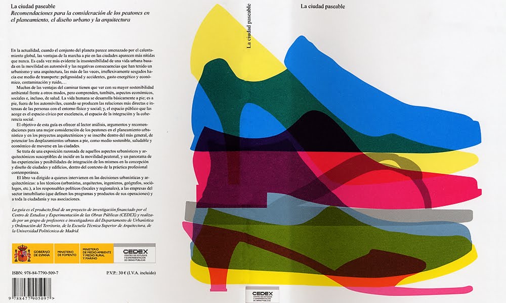
Today, with the whole planet threatened by global warming, the advantages of walking in cities are clearer than ever and have to do with its greater environmental sustainability compared to other modes, but also include economic, social and health aspects.
The aim of this guide is to provide the reader with analyses, arguments and recommendations for better consideration of pedestrians in urban planning and architectural projects. It is a reasoned exposition of those urban and architectural elements likely to have an impact on pedestrian mobility, which demonstrates the importance of integrating pedestrian mobility in urban-architectural conception and design.
In order to allow reading at different levels of depth, the guide offers different information supports: in addition to the main text, the illustrations and respective captions, which allow a quick reading by summarising and illustrating the main arguments; the recommendations, at the end of each chapter, with the most relevant practical conclusions; the boxes that briefly describe Spanish and international plans and projects; and the appendix, “Synthesis of the results of the research project” which, together with the footnotes, reveal the book’s scientific basis.
1. Introduction
2. Pedestrian Mobility and Urban Features
3. Consideration of pedestrians in municipal urban plans
4. Consideration of pedestrians in partial or area plans
5. Consideration of pedestrians in architectural projects.
Annex. Results of the research project
Julio Pozueta Echavarri (Dir.)
Francisco José Lamíquiz Daudén
Mateus Porto Schettino
Publisher
Centro de Estudios y Experimentación de Obras Públicas – CEDEX (Ministerio de Fomento, Gobierno de España)
ISBN/ISSN
ISBN: 978-84-7790-509-7
Depósito Legal: M-48504-2009
NIPO: 163-09-045-X
Printer
Artegraf S.A.
