Author: Ruby Vallarino
Currently, the world faces great threats such as droughts, floods, hurricanes, events with dire consequences that have increased in frequency as a result of the effects of climate change. The constant and large emissions of CO2 into the atmosphere have caused an increase in its average global temperature, which has brought about an imbalance in climatic levels, thus generating an increase in extreme meteorological events.

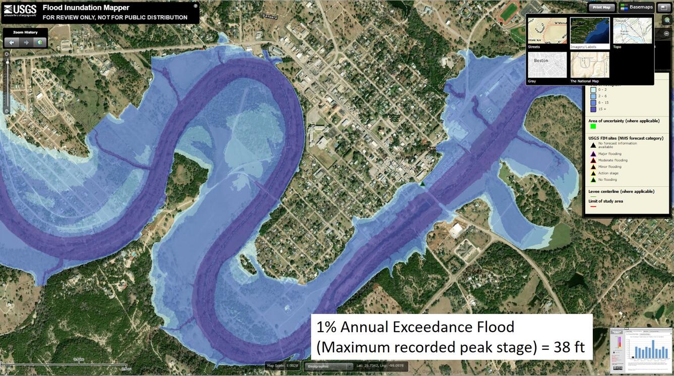
Figura 1. Colorado Floods
A report published by the World Meteorological Organization (WMO) presented an analysis of around 11,000 natural disasters that took place between the years 1970 and 2019. The study addressed aspects such as mortality in affected populations and the economic losses generated. Concluding that in this period of time more than two million people lost their lives due to natural disasters and the economic losses generated were around 3.64 trillion dollars.
Additionally, the report published by the World Meteorological Organization suggests that in areas of North America and Asia the rains will increase in intensity and temperatures will continue to increase. On the other hand, a report presented by the Inter-American Development Bank indicates that a greater increase in floods, hurricanes and earthquakes is expected in the Latin American and Caribbean region, especially “those countries that have a coastline in the Caribbean Sea are more vulnerable. and / or in the Pacific Ocean”.
It is for this reason that early warning systems and resources such as cartographic material to establish emergency plans for the prevention or management of natural disasters, as well as the correct dissemination of information to the general population, play a fundamental role. to face the scenarios of climate change.
Geographic Information Systems constitute a tool that can be used to identify areas vulnerable to meteorological phenomena through risk maps; this could establish or improve decision-making processes. These maps use a technique that establishes an approximate level of risk, integrating hazard and vulnerability factors that include social and economic aspects.
To carry out analyzes related to risk management using Geographic Information Systems, it is necessary to have three categories of information: (1) natural hazards: which must include the location, severity and probability of occurrence, (2) natural ecosystems: indicating aspects such as river flows, land use, topography, etc., (3) population and infrastructure: providing information to quantify the impact that a disaster could generate.One of the main drawbacks when using Geographic Information Systems in risk analysis corresponds to the availability and quality of the data, mainly the absence of historical data. On the other hand, in some countries there is the problem of the dissemination of information by the institutions to the general population and / or the lack of trained personnel to carry out this type of studies at the local level, making it difficult to generate information. alternatives to act in the face of natural disasters.
The use of Geographic Information Systems plays an important role today as a support system for decision-making processes for spatial planning, prevention, mitigation and management of areas vulnerable to natural disasters. These systems can be used to develop early warning systems; Such is the case of the Morazán Project in Central America, a region categorized as one of the most vulnerable in the world and strongly affected by the passage of hydrometeorological phenomena (hurricane ETA and IOTA) in 2020. The Morazán Project is an alert system that Its objective will be three fundamental aspects: 1) the monitoring of areas vulnerable to floods, 2) serve as a platform for downloading satellite images and 3) function as a communication platform for communities affected by natural disasters, allowing emergency messages to be sent.
Early warning systems are an integrated set of communication systems that collect and process information on foreseeable threats, with the objective of alerting populations to possible disasters. These systems are especially used to improve the response in emergency cases, helping to safeguard the integrity of the population by reducing the loss of human life. It is important to highlight that this type of system should be considered part of a multi-institutional structure, requiring the cooperation of scientific and / or academic institutions, authorities and civil protection agencies, and communities or the population in general.
Bibliography:
http://www.oas.org/dsd/publications/unit/oea57s/ch012.htm
http://www.funsepa.net/soluciones/pubs/MzQ3.pdf